May 28, 2021 - Day Nine, Flight Two
Flight to McCall, Idaho

A Cessna takes off on Runway 14.
   
I took off on Runway 32 and continued north up the valley.
   
I had the awesome Sawtooth Range on my left (west) to gawk at.


Looking east.
   
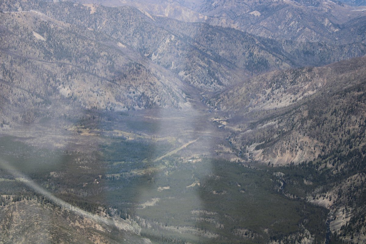
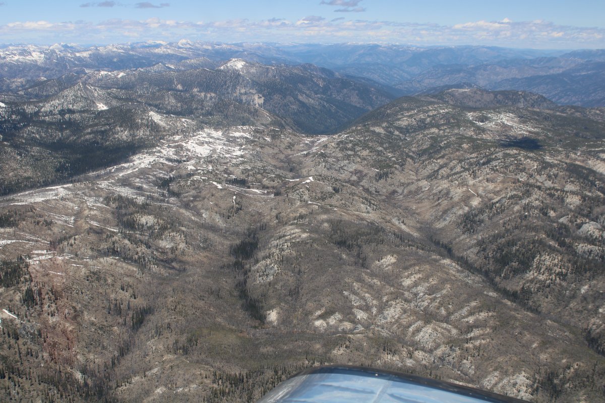
The valley gradually turned northwest which was the way I wanted to go.
 
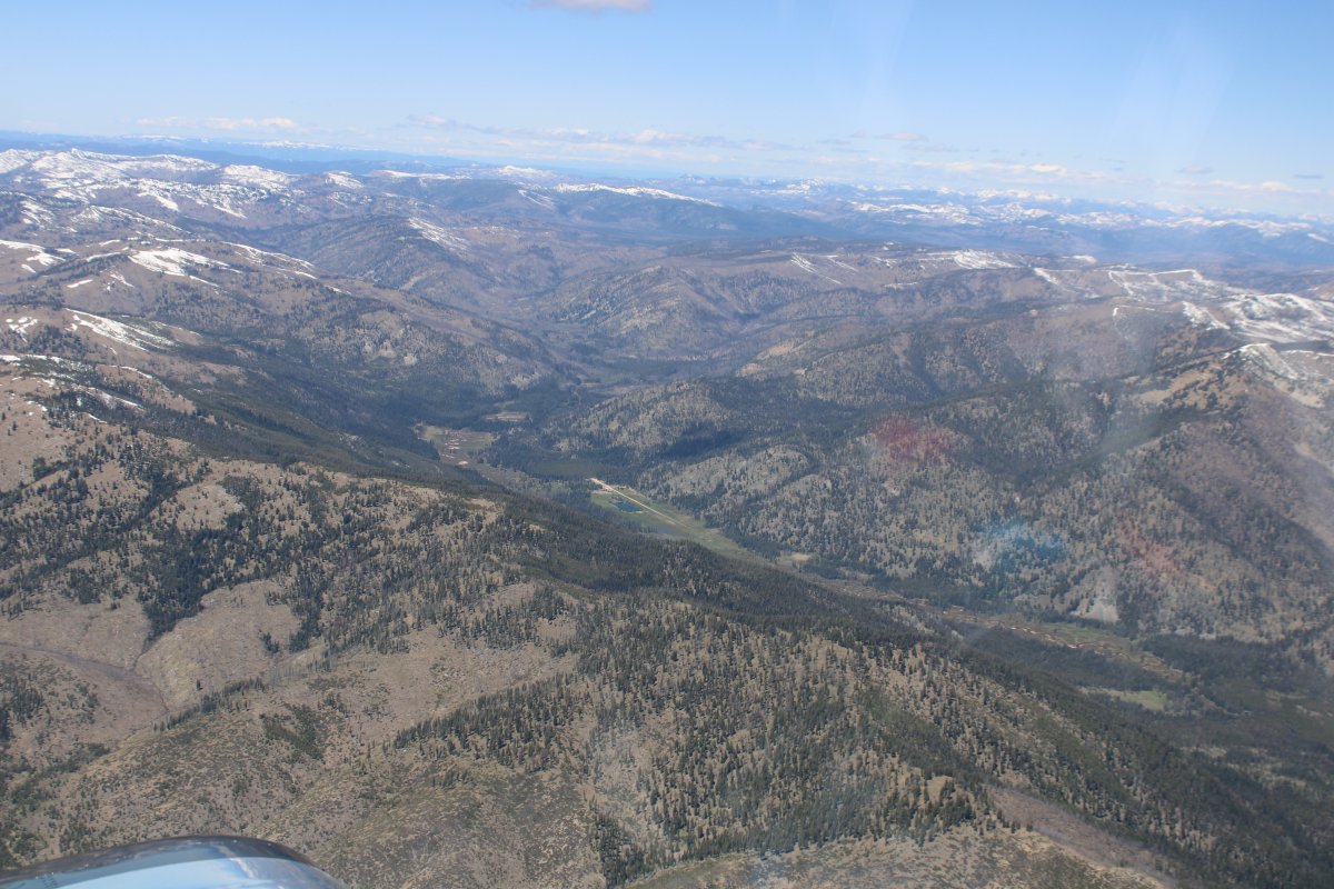
There's an airstrip down there to the left; can you find it?
   
Close-up.  It's Bruce Meadows (U63).
   
Continuing on.  I was fairly high and well above any mountains in the area.
   
Looking northeast.
   
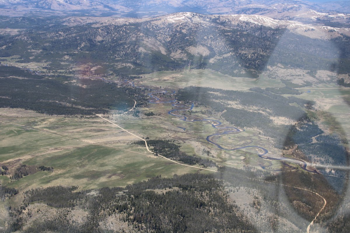
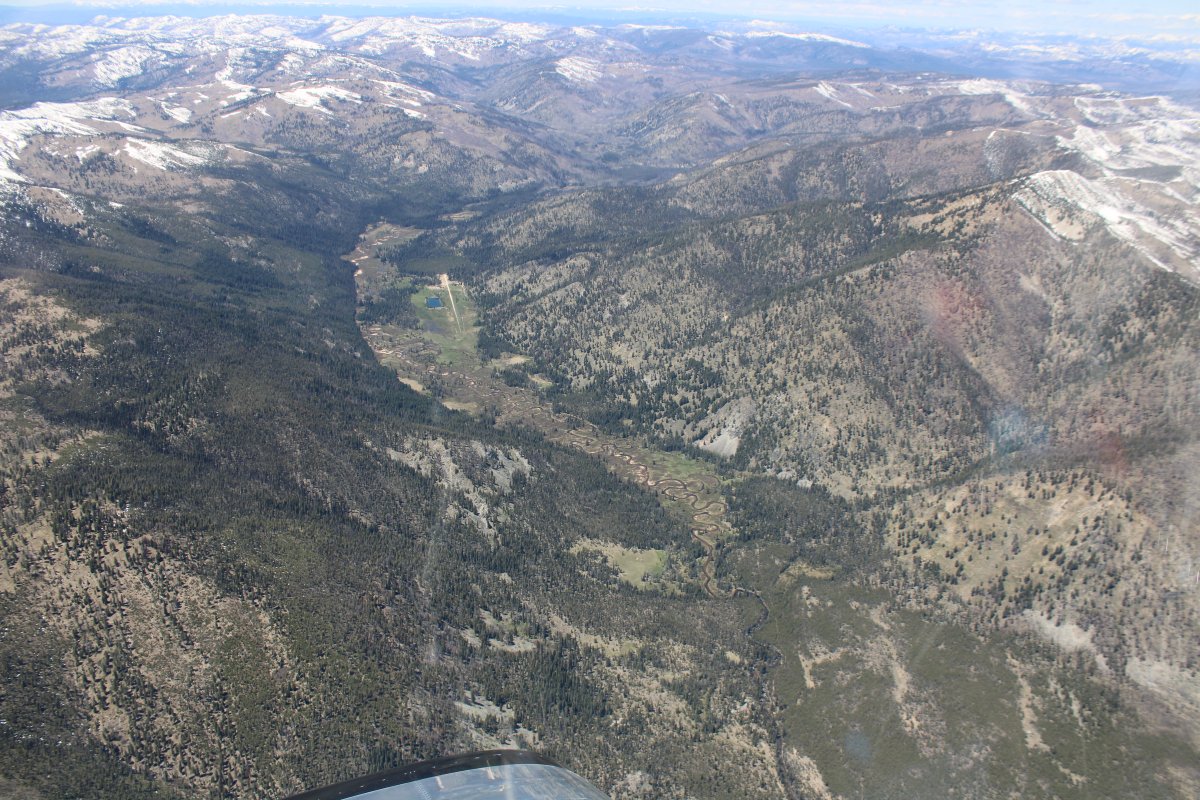
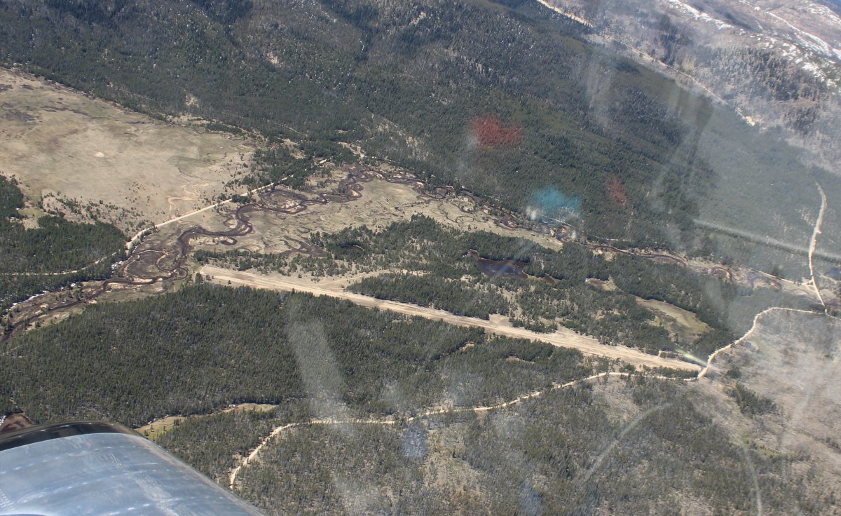
Looking down at Morgan Ranch, a private strip.
   
Also looking down at Sulfur Creek.  Also a private strip but its a resort where you can fly in for breakfast (reservations required), stay overnight in a guest lodge, go horseback riding, fish, hike, etc.  I tried landing for breakfast here once years ago but unfortunately it was socked in by ground fog.  Sulfur Creek is also one of the easier Idaho mountain strips.
   
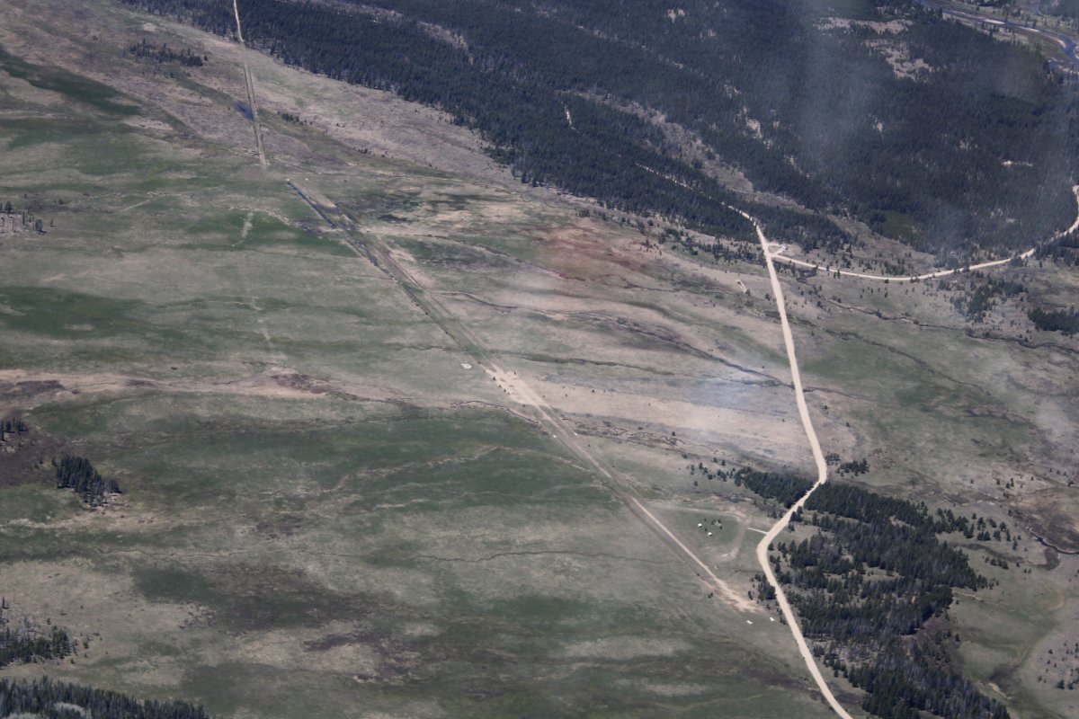
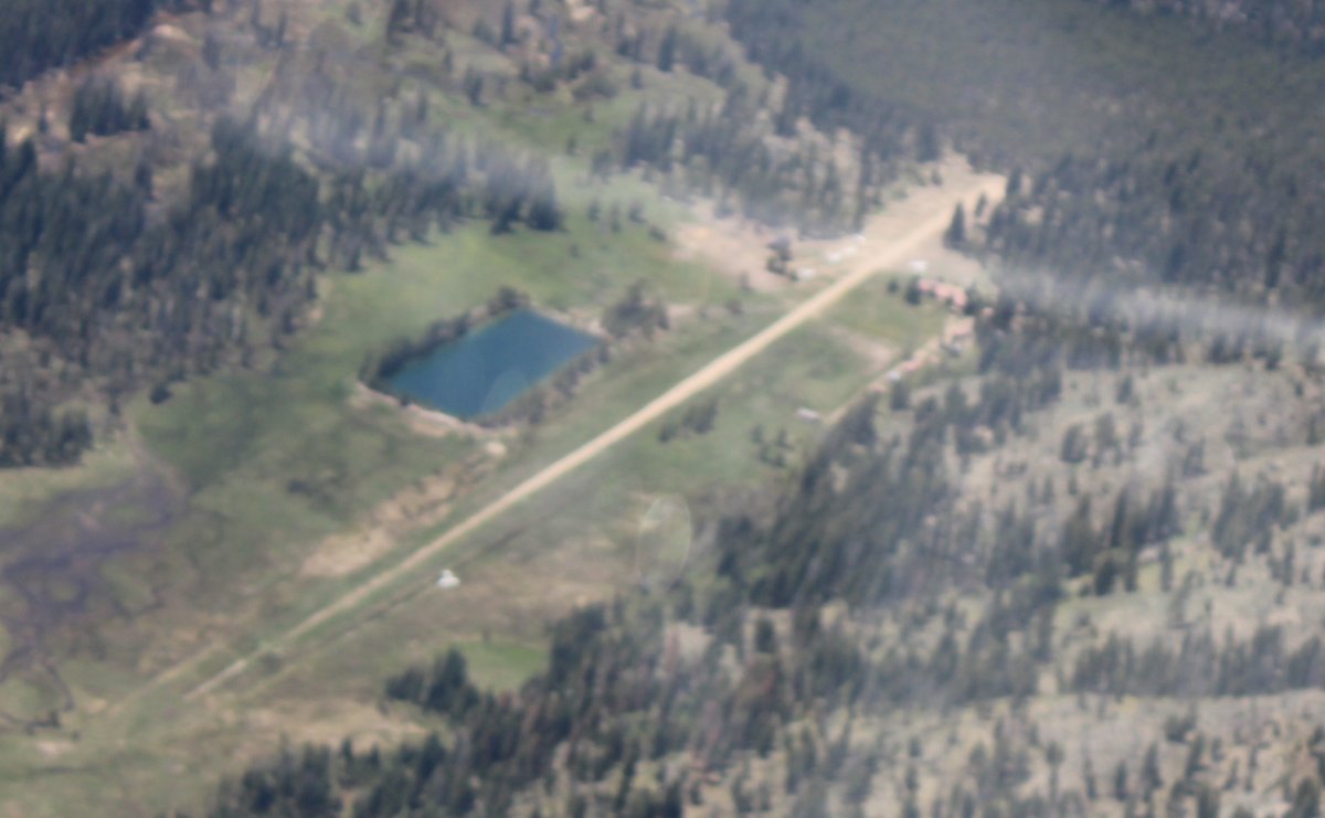
Looking down at Sulfur Creek Ranch.  You can't see it in this picture, but I was looking down at the grass strip and saw a plane off the runway, perpendicular.  It looked like a mishap.  It turns out it was, a Bonanza was blown off the runway by the wind on takeoff, hit a ditch and stood on its nose with the engine ripped off.  Here's a video on what happened:  Link.
   
A grainy close-up but you can clearly see the Bonanza at lower left.
   
Passing overhead another mountain strip -- there are a lot of them around here.  This one is Landmark, a United States Forest Service strip but open to the public.
   
One last range ahead and then I'm at my destination.  McCall is on the north end of a valley that runs north-south and contains Payette Lake and Cascade Reservoir.
   
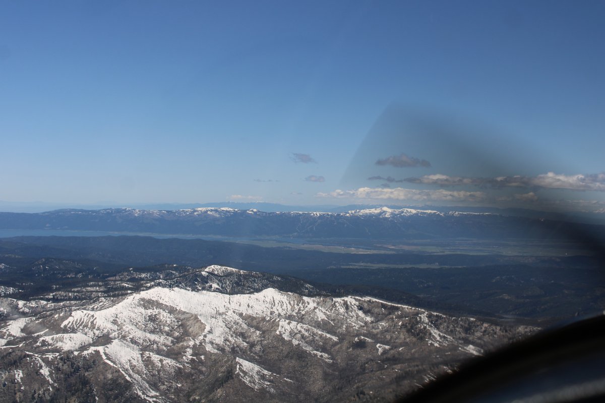
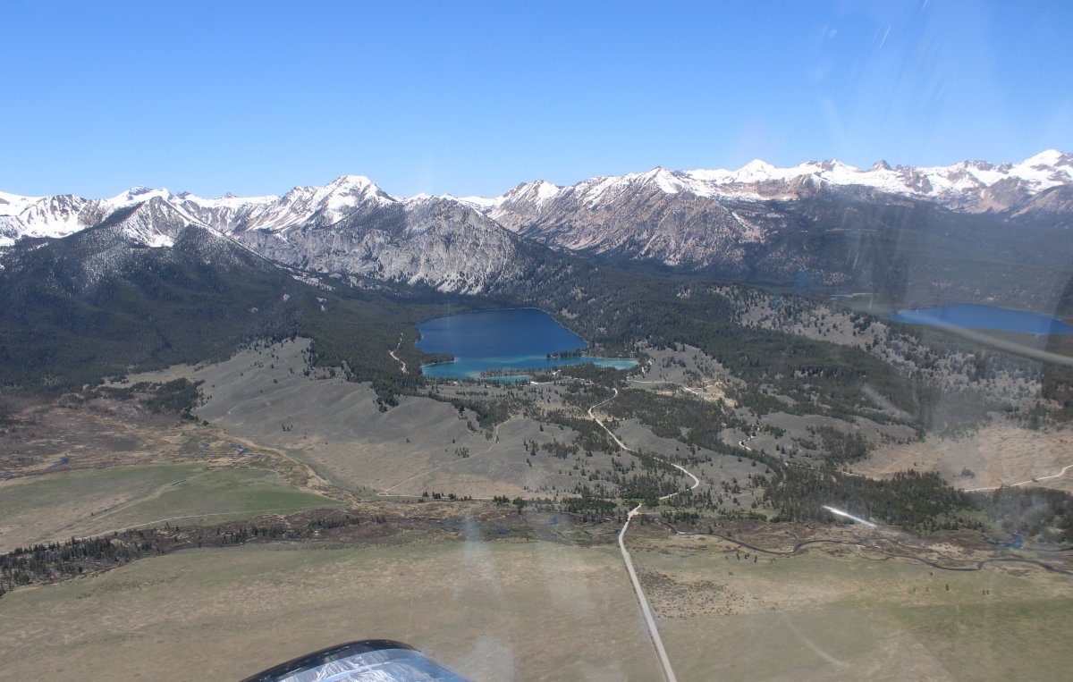
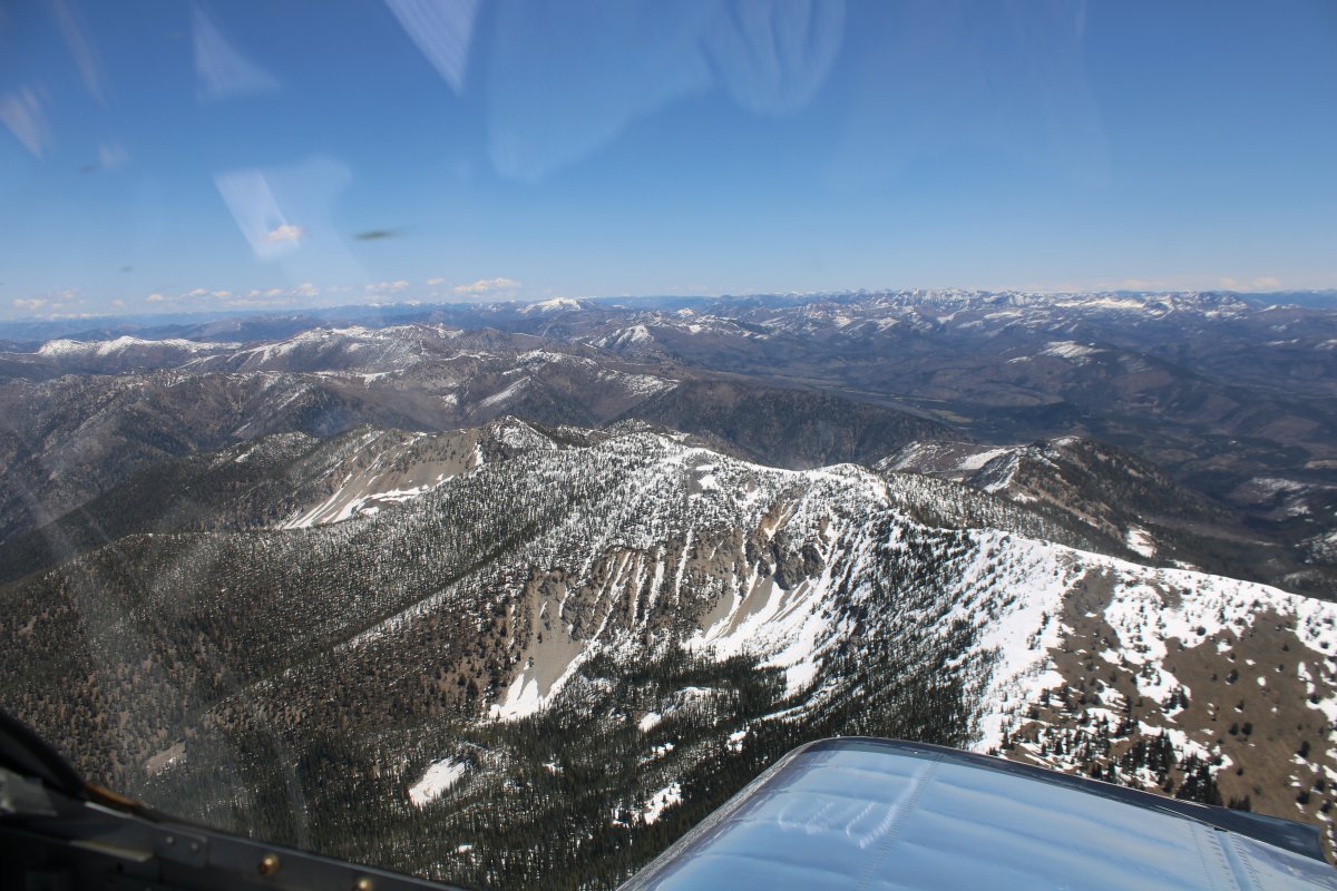
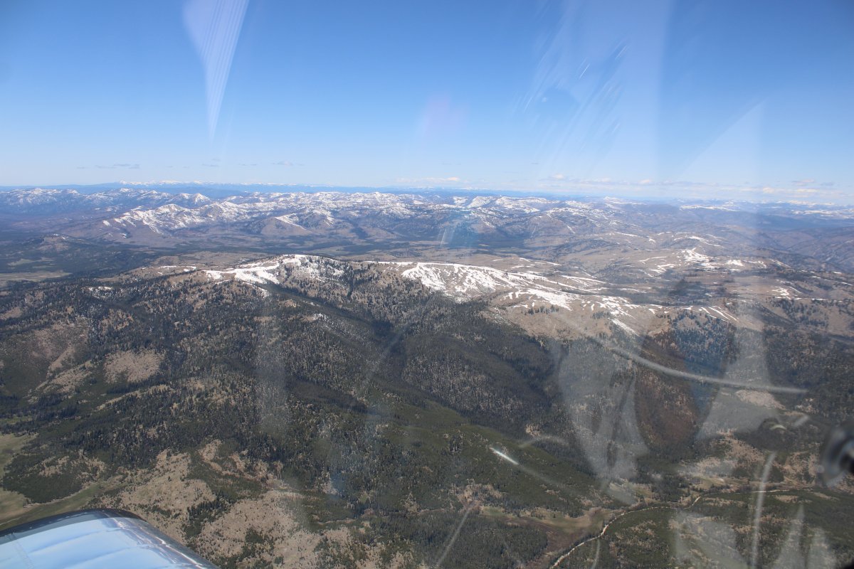
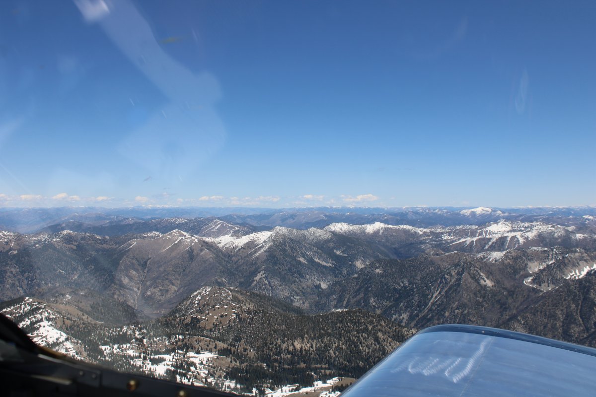
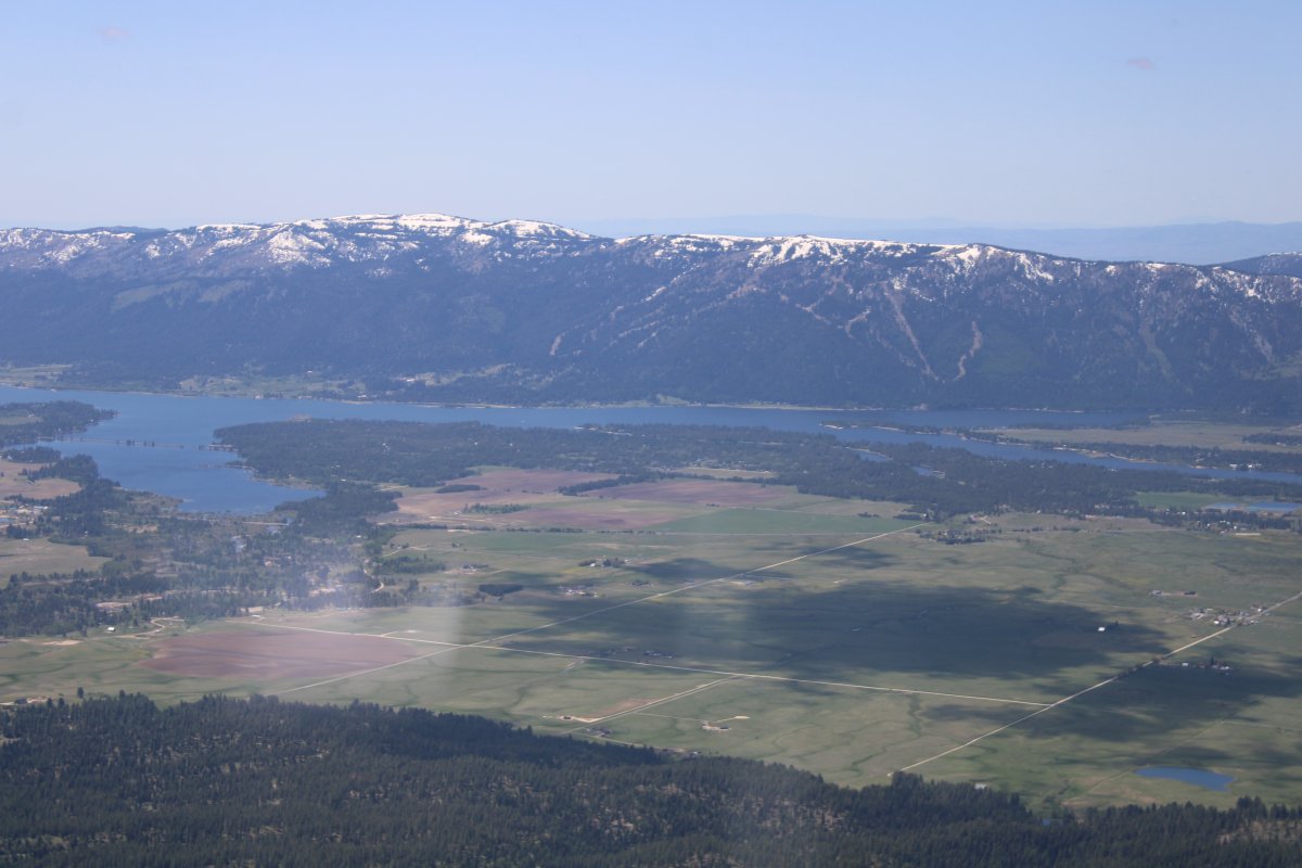
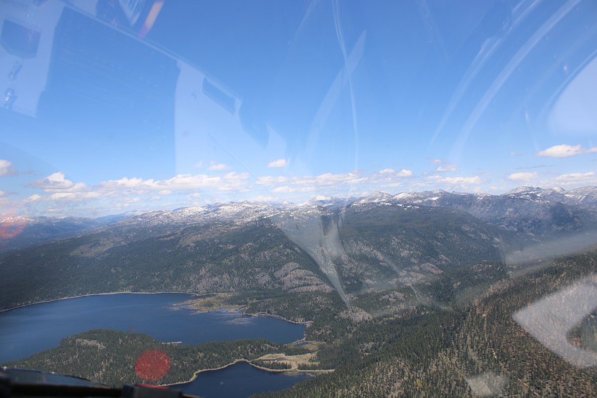
Looking north over the final range.
   
Looking southwest at Cascade Reservoir.
   
Across the valley is Tamarack Ski Resort where I would be staying with a bunch of high school buddies over the Memorial Day weekend.
   
Approaching McCall Airport, the town of McCall and Payette Lake.
   
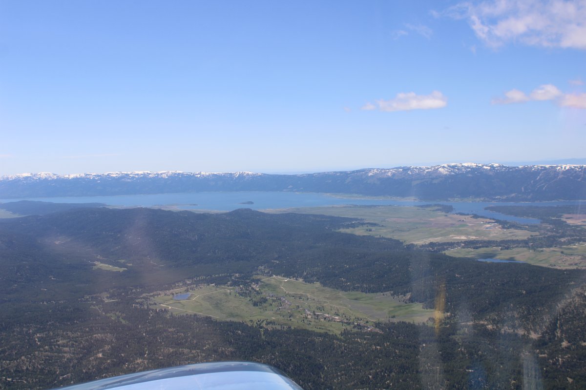
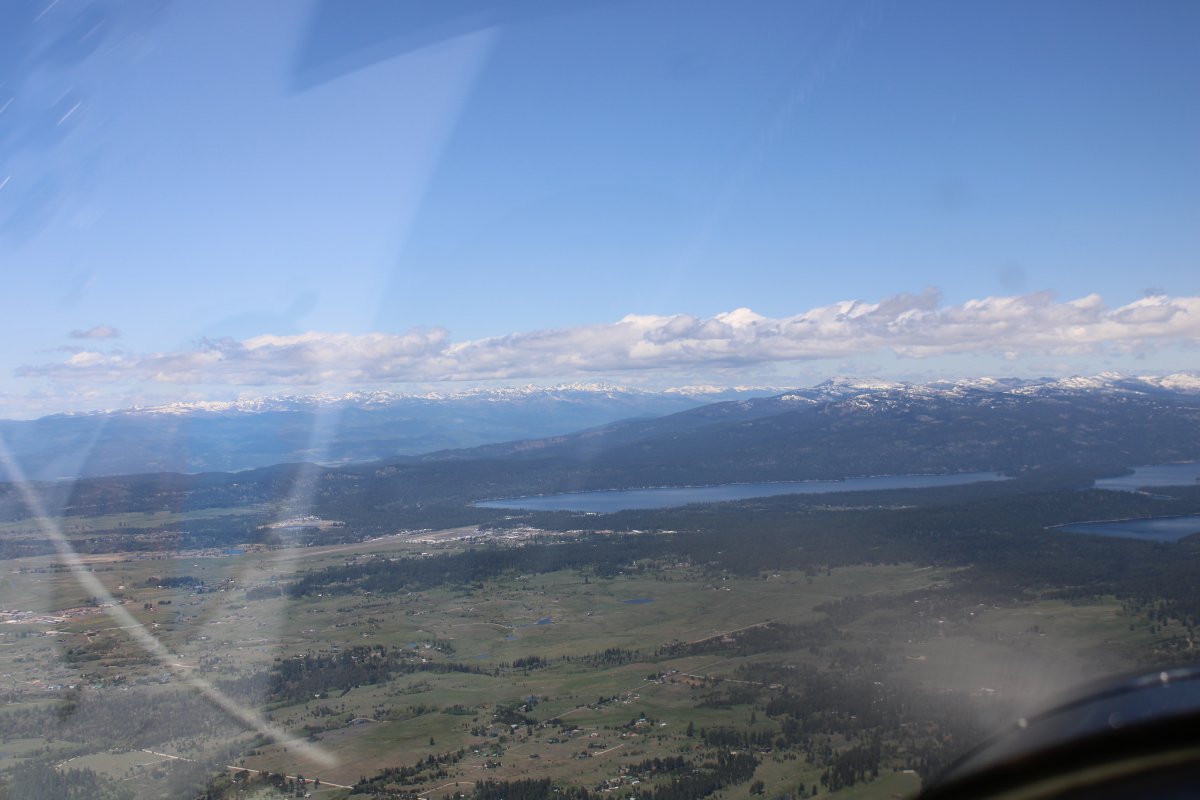
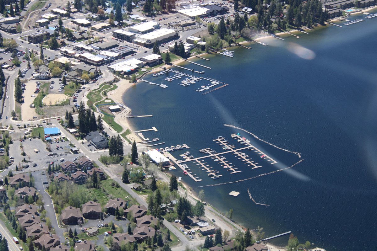
I made a big sweeping turn over Payette Lake while I descended.  McCall has a field elevation of 5,024 feet so I had to shed a lot of altitude.
   
East of McCall Airport.
   
Now turning crosswind for runway 36.
   
Looking down at the Payette Lake marina.
   
Looking south.
   
Now turning final for runway 36.
   
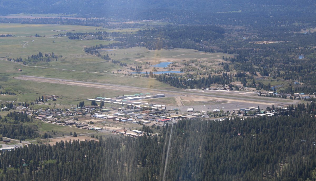
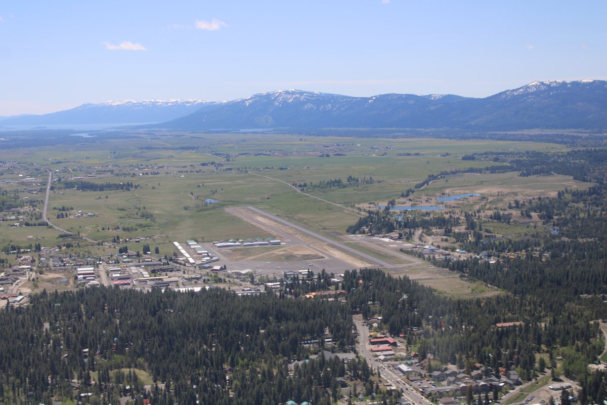
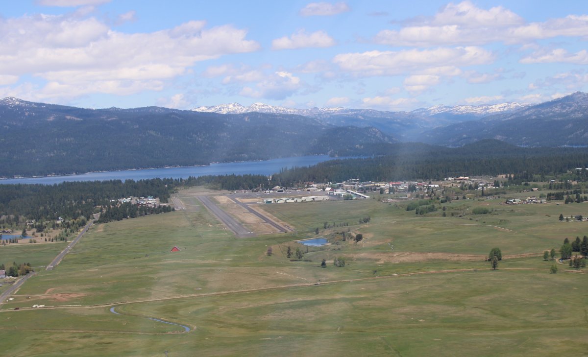
There was a pretty good crosswind but I made one of my better landings.
 
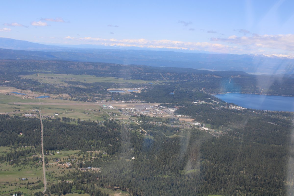
McCall is a big, active, non-towered airport with a huge ramp area.  I fueled up at the self-service pump, then secured the plane for its four-night stay.  The FBO office was manned and friendly.  They have a nice pilot's lounge and sell oil and T-shirts.  A mountain/canyon flying school is based here, plus some other operations like forest service, fire fighting, etc.  There's a good pancake house across the street and everything -- lodging, restaurants, stores are within walking distance.


Previous
Home
Next